


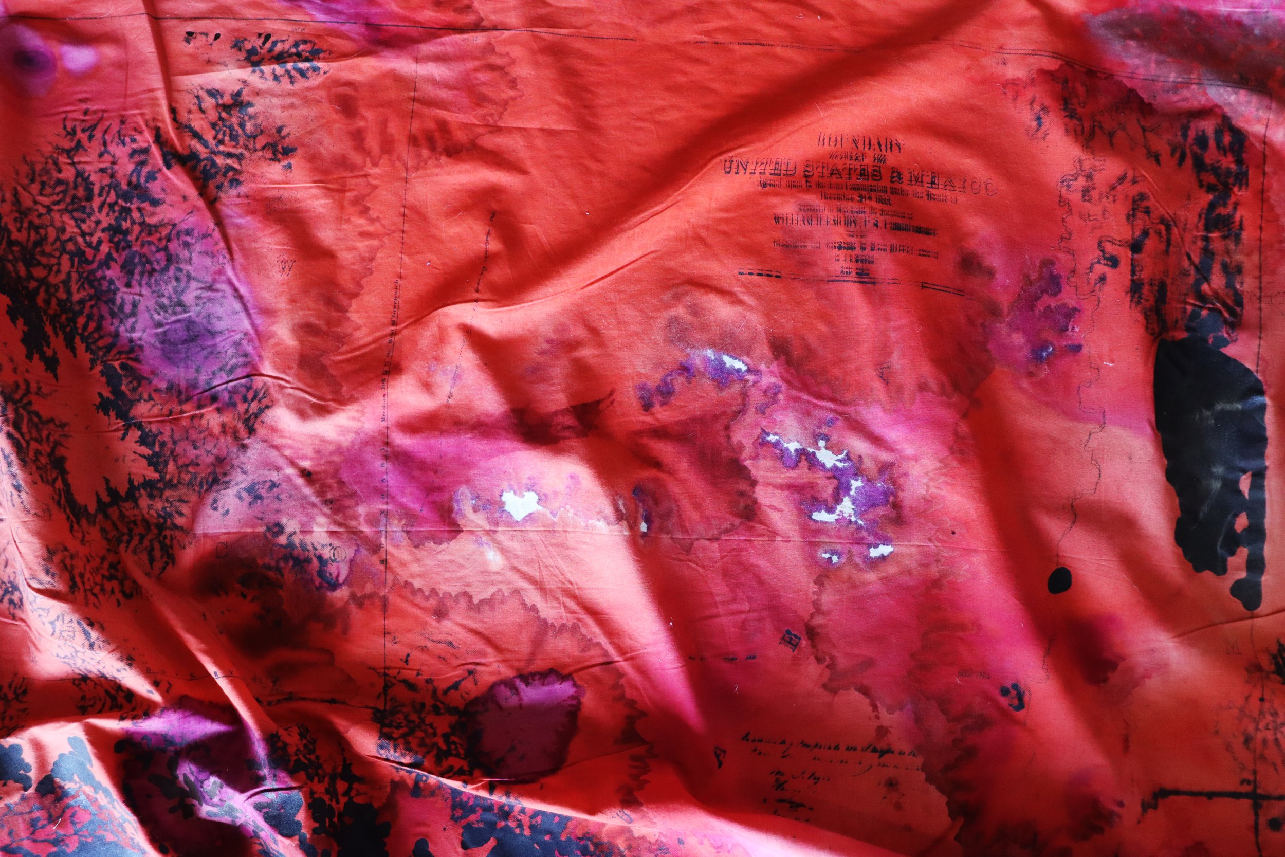
(mis)taken
muslin, cochineal, iron ink sourced from Arizona metal scraps in Arizona, 25 archival border maps: United States Army. Corps Of Topographical Engineers, William H Emory, and J. E Weyss. Boundary between the United States & Mexico: agreed upon by the Joint Commission under the Treaty of December 30th. Washington D.C.: Corps of Topographical Engineers, to 1853, 1852. Map.
3’ H x 105’ W